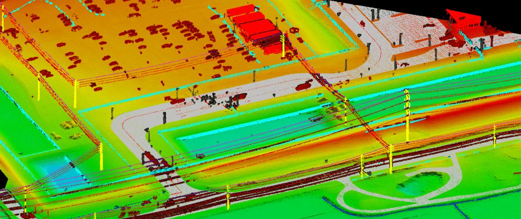


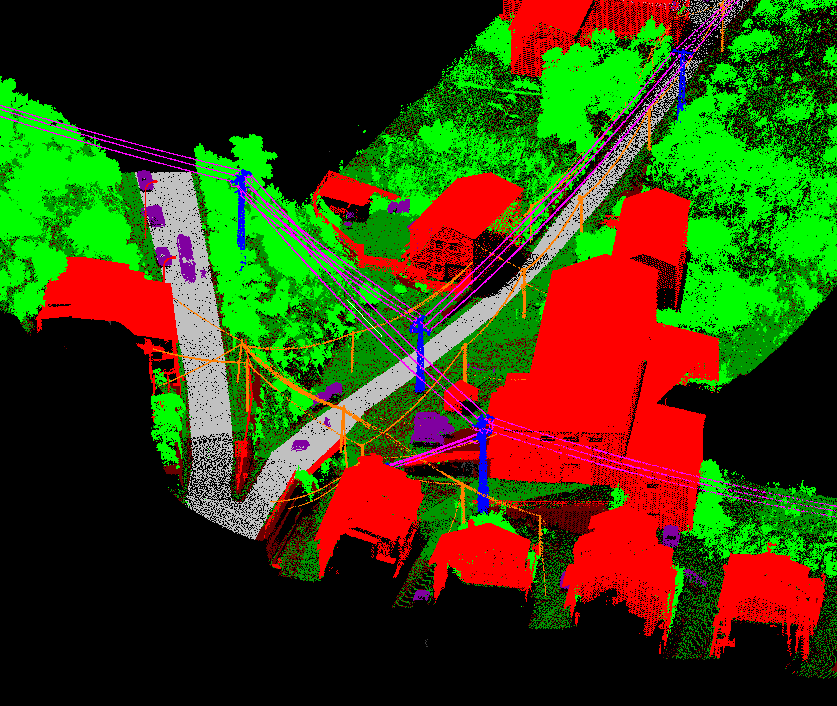
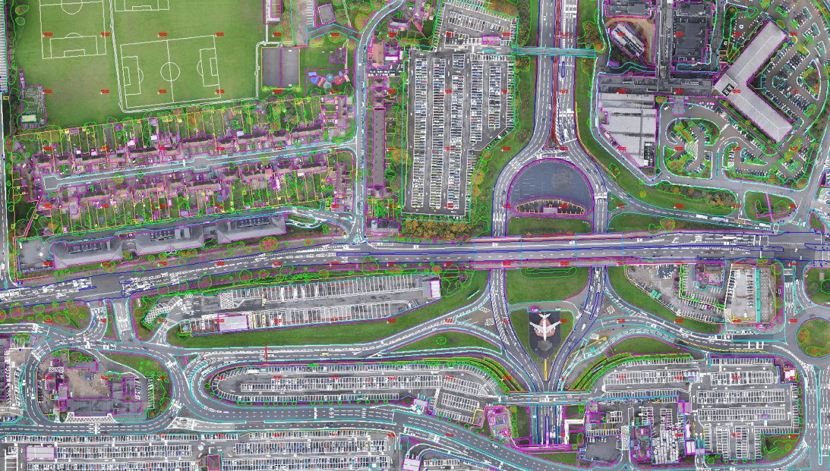
LiDAR
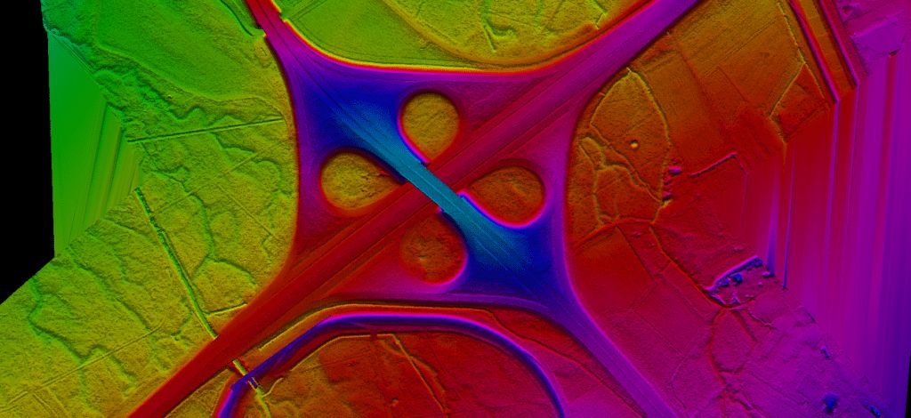
Light Detection and Ranging (LiDAR) can determine how far objects are away from each other by shining a laser onto a target and analyzing the light that bounces back.

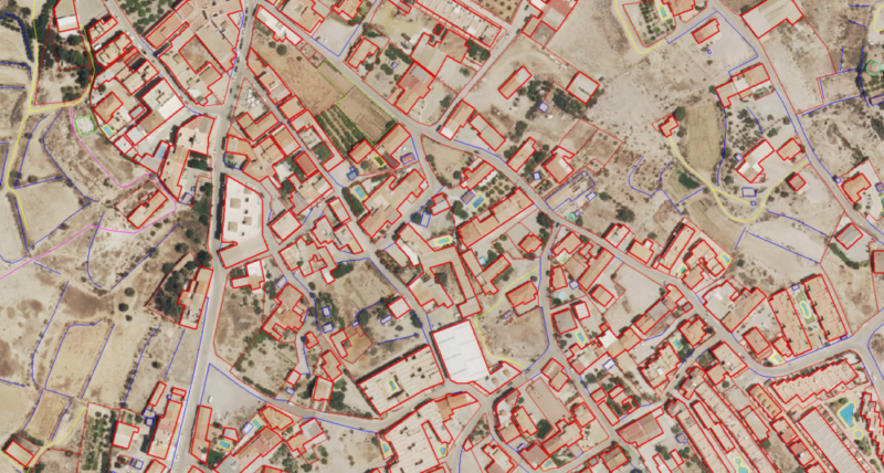
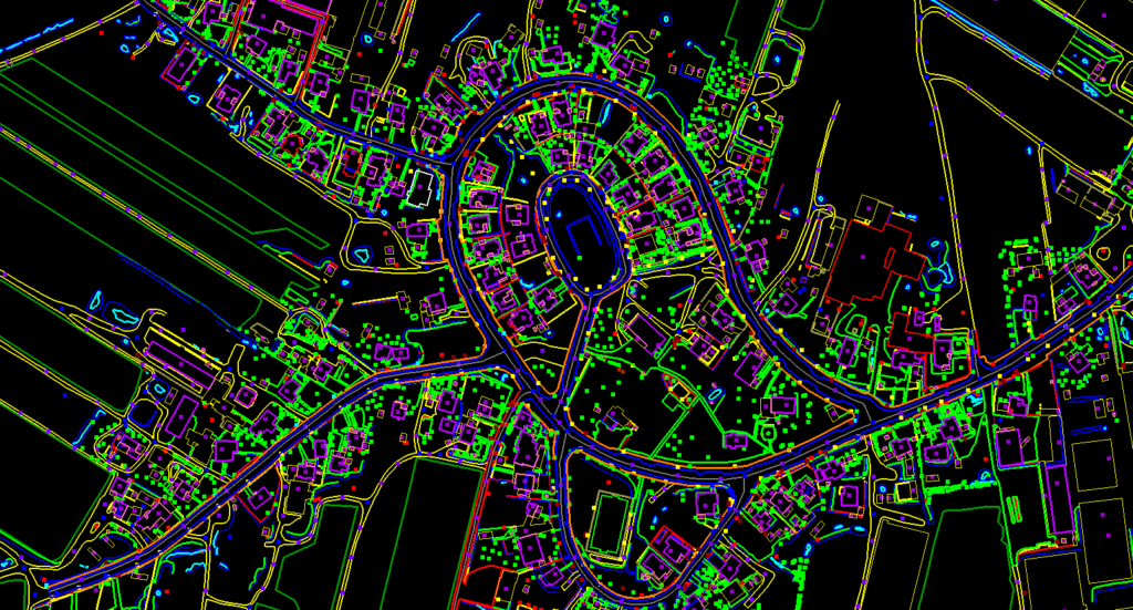
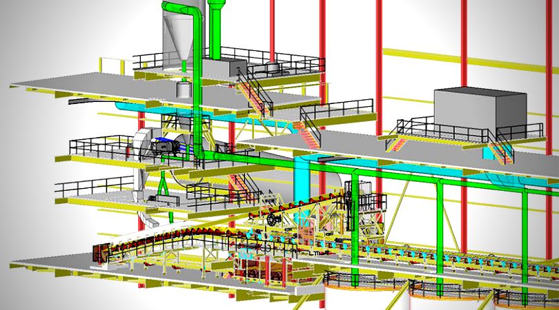
Stereo Compilation
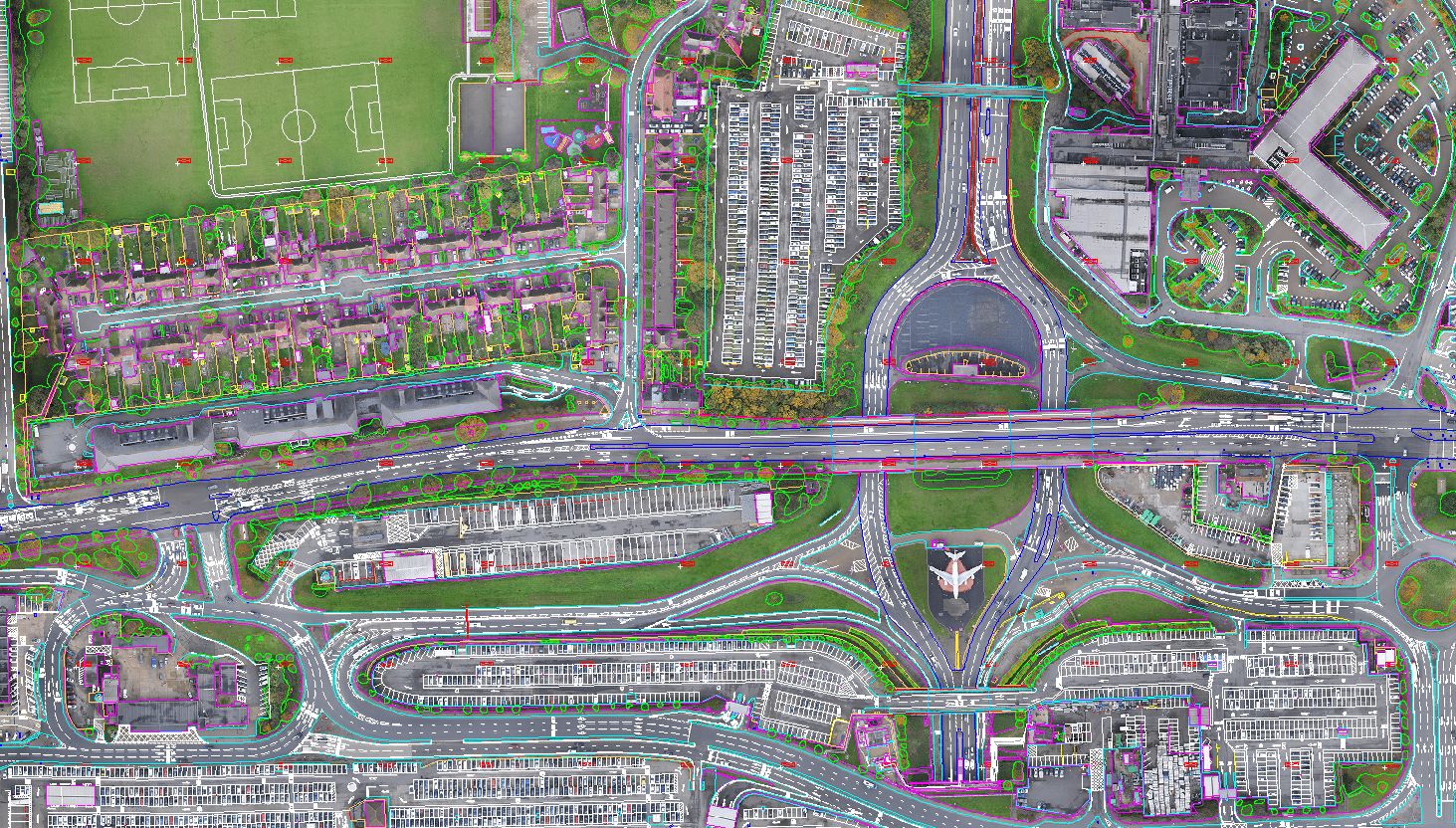
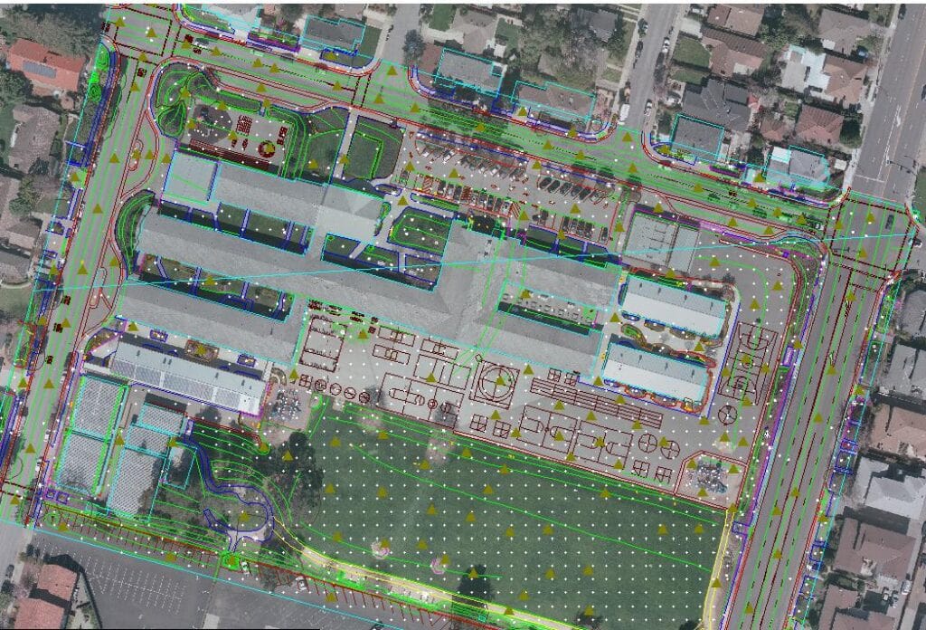
Stereo Compilation: - Stereo compilation refers to the mapping of vector features from oriented stereo pair (pair of overlapping photographs) in 3 dimensions.

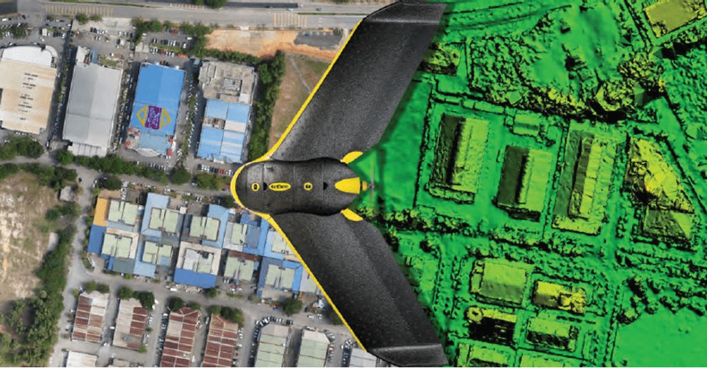
UAV(Drone) Mapping
Earth On Mapping has the entire photogrammetric workflow and expertise in house. We employ a bundle of SW packages, together with our own priority algorithms to enable fast & accurate mapping.

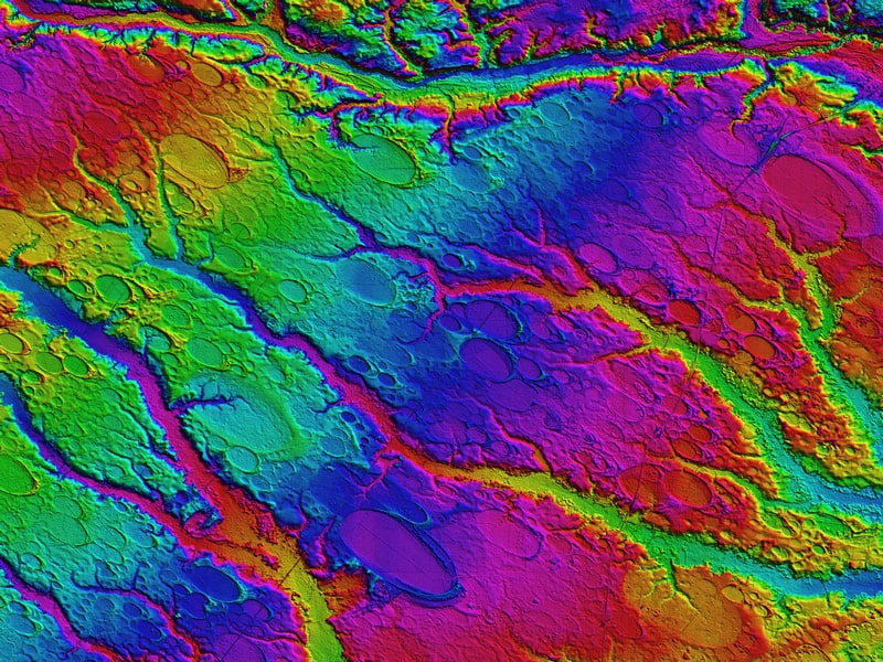
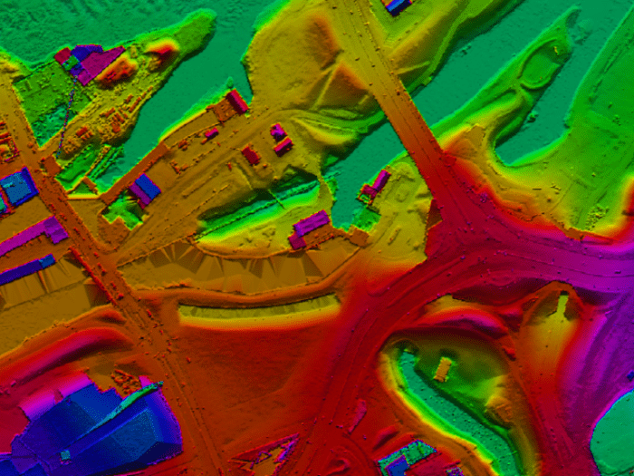
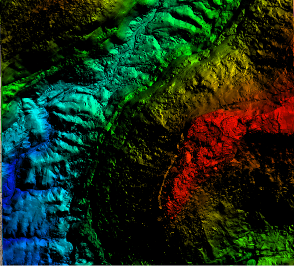
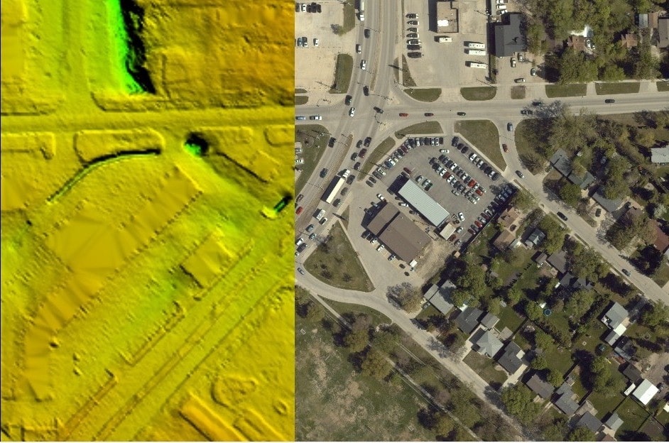
DTM/DEM Extraction
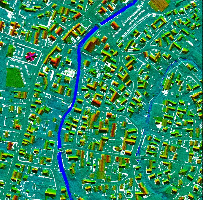
A digital terrain model (DTM) also consists of mass points (X, Y) with elevation values (Z) but unlike the DEM, the mass points are not in the form of a regularly spaced grid.


Show All
LiDAR
Mapping
UAV
Ortho

Costal

Bridge
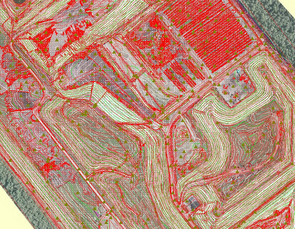
Advance LiDAR Classification
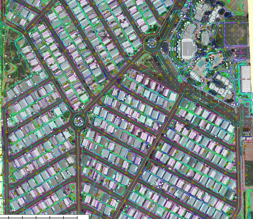
Mapping 1

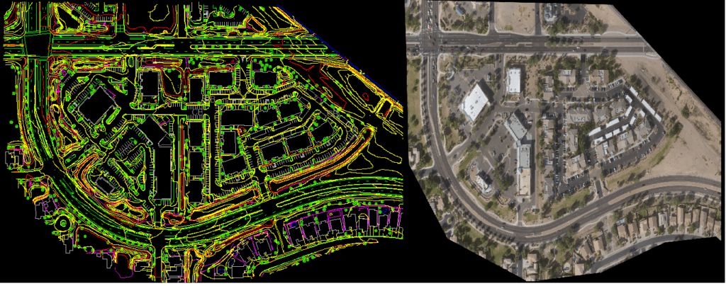
Commercial Mapping
LULC Mapping
Ortho

UAV LiDAR
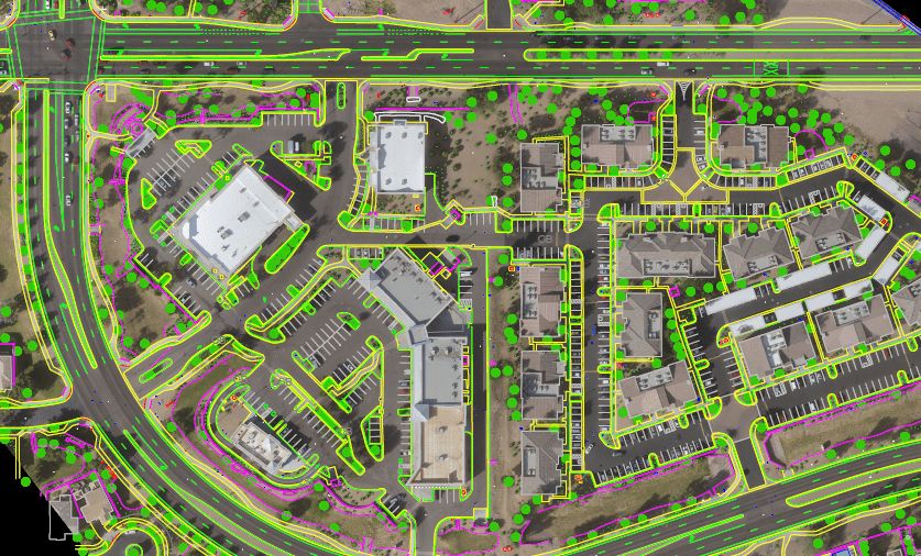
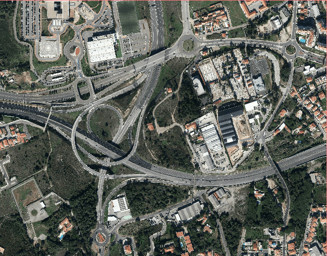
Parking Mapping
UAV 3
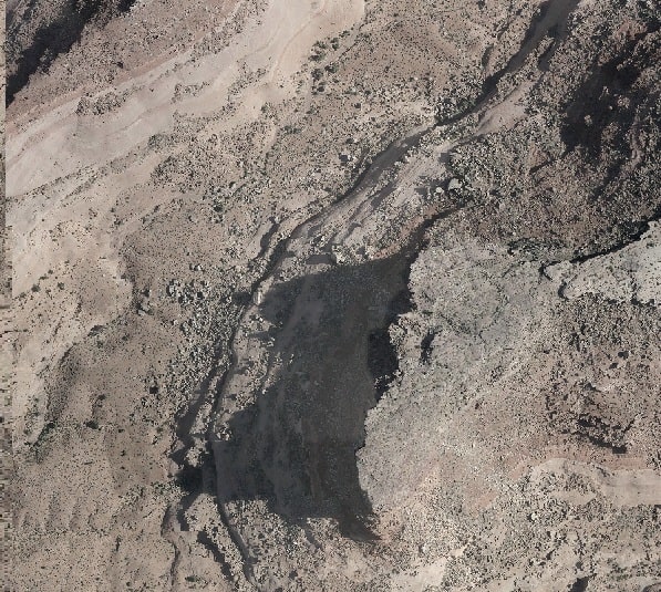
Quarry Mapping
Asset Mapping
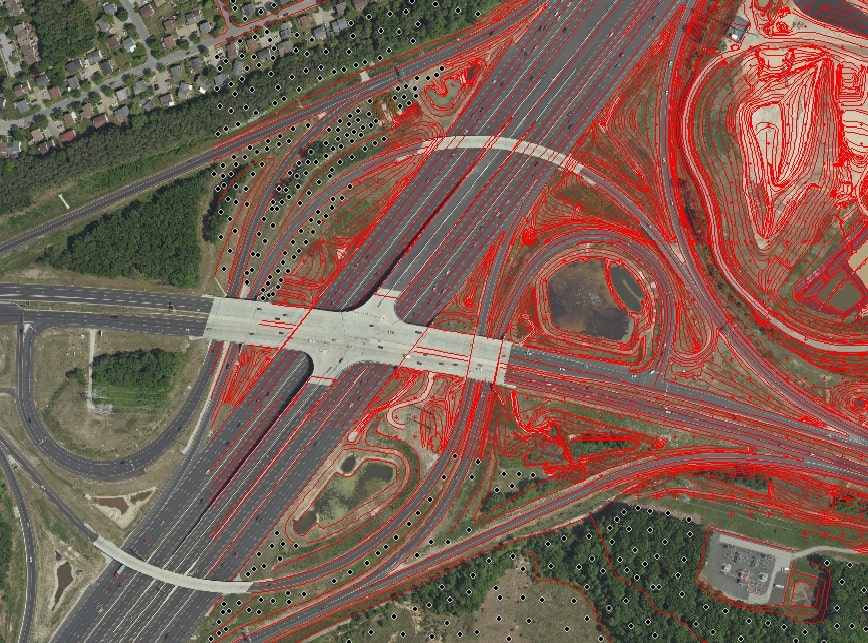
LiDAR & Ortho Processing

Ortho