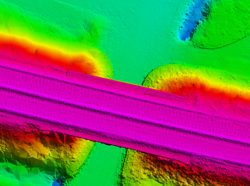
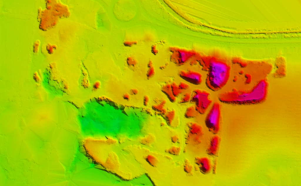
The laser pulses emitted from airborne lidar systems may be reflected from man-made structures, vegetation, or the earthen surface. A single pulse may reflect from upper, middle, and lower tree canopy as well as the ground beneath, resulting in multiple measurable returns from that pulse. The elevation of the reflected surface(s) is derived based on the amount of time it takes for an emitted pulse to return to the sensor, sensor position, and other parameters. The full set of discrete returns and their corresponding x, y, z coordinates are stored in what is referred to as a ‘point cloud’ dataset.
3D Modelling & Meshing
EOM offers a suite of 3D modeling products designed for 3D visualization, GIS applications, architectural modeling, 3D modeling, 3D graphic design, and 3D simulators.