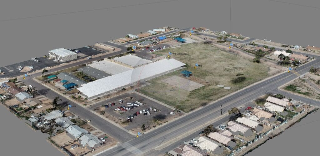
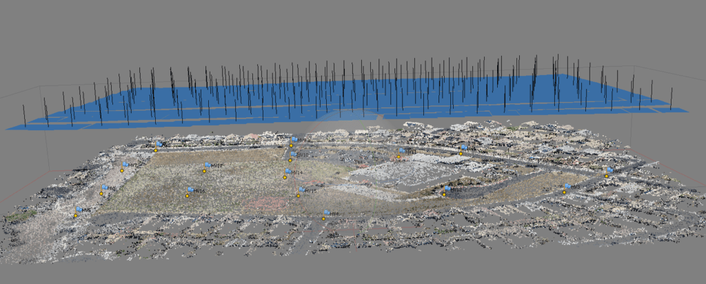
Aerial Triangulation is the process of contiguous densifying and extending ground control through computational means. This operation includes establishing ground control points; performing interior orientation; measuring and transferring all tie, check, and control points appearing on all photographs manually as well as automatically; and performing a least squares block adjustment.
With aerial triangulation in aerial photogrammetry we might be able to calculate 3-dimensional coordinates for object elements on almost any object. We need at least some points with known position that are visible in at least some of the photographs. These points we call ground control points, or any control points, the control points have to be a part of the aerial triangulation.
We are using Match-AT, ISST, Socet Set, Orima for correlation as per client’s requirement.
Simple procedure what we adopt at time of AT production for achieving the quality.