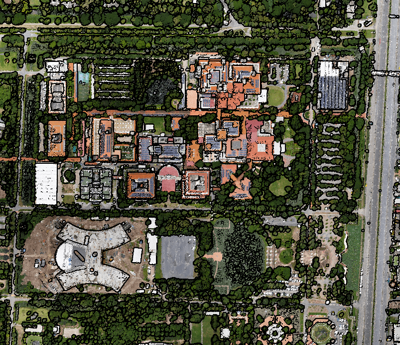
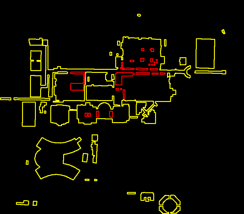
An unmanned Aerial Vehicle (UAV) system has the ability to quickly and inexpensively collect highly detailed data of smaller areas. Once data collection is complete, fast and automatic data processing allows for speedy end product deliveries. UAV provides quick deployment and turn-around times with accurate reporting from point cloud datasets. Survey ground control, processing, and reporting are carried out by our experienced and registered surveyors.
EOM is prepared to support your mapping projects and add you to our growing list of clients using the latest in UAV technologies.