Planimetric Mapping
Planimetric Mapping
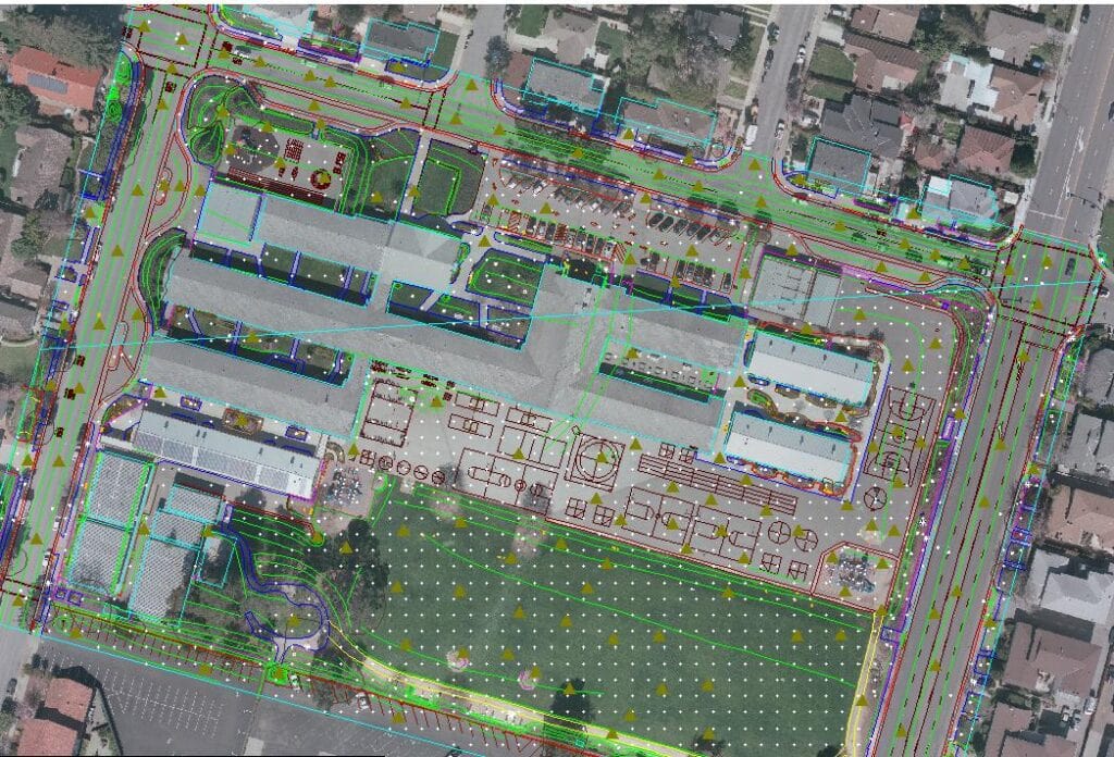
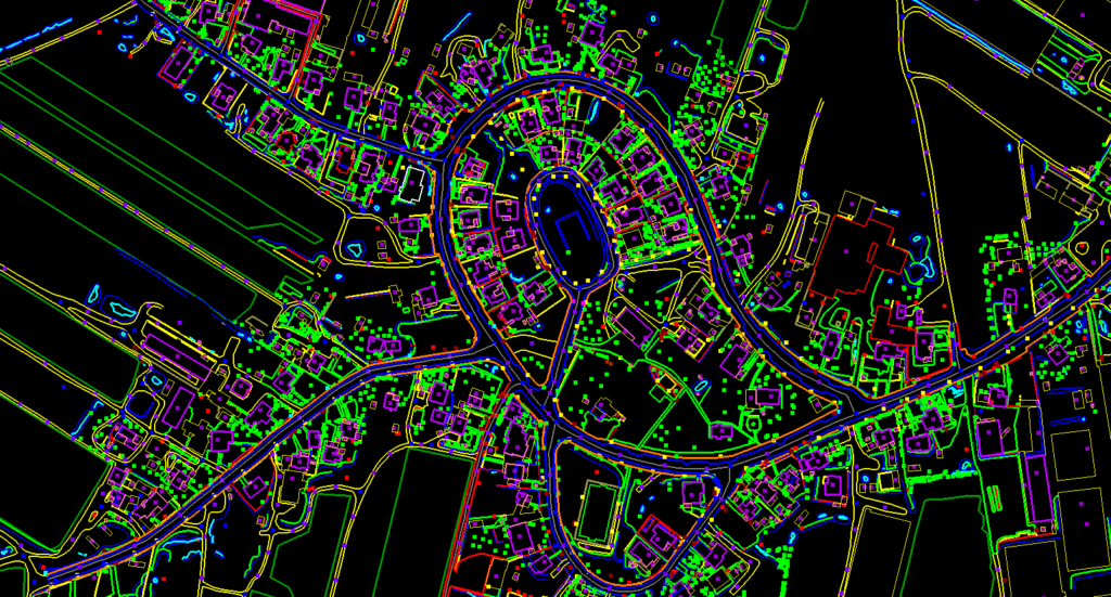
Digital planimetric mapping provides accurate yet simple horizontal distance measurement. The clarity and usefulness of planimetric maps depend on the quality of the source data and the technique used to extract the details. Aerial photography can be digitized to form a GIS (geographical information system) base, levels of detail for selected objects chosen, and a planimetric map constructed.
EOM provides a high-quality & cost-effective planimetric mapping service to its partner.
Aerial photos are analyzed to identify the planimetric data, using advanced software tools & experienced team members. Through photogrammetry, we can recover the exact positions of surface points. Stereo imagery allows the definition of each map feature 3-dimensionally in terms of vectors (lines) and points. We then generate a vector map with corresponding map symbols.
- When constructing a planimetric map, we ensure that topology and geometry remain consistent between all map object classes for high quality and precision
- We apply custom software development and coding wherever appropriate
Regular update services are made available to maintain planimetric and GIS mapping at optimal accuracy