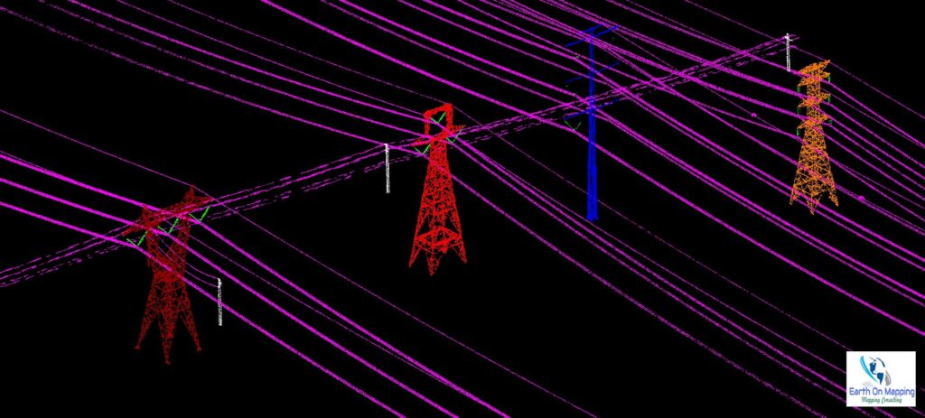
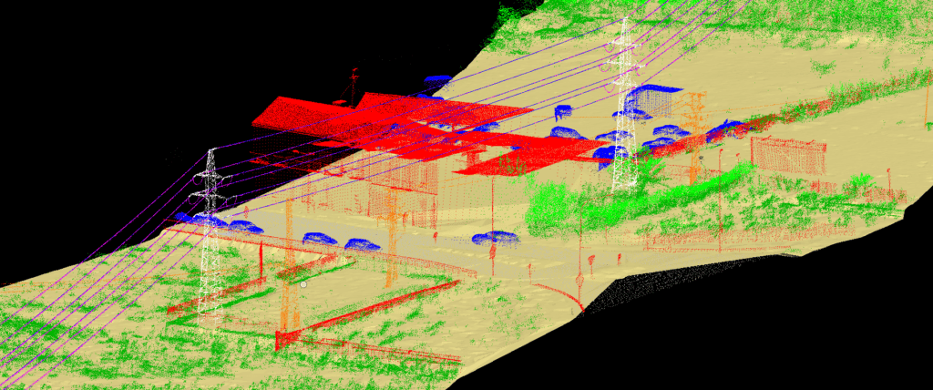
The optimal combination of LiDAR data and fieldwork allows providing ultimate and utility mapping services, as well as decreasing drastically the costs of traditional electrical grid design, network maintenance and inspection services. By designing the electrical network in 2D and 3D from LIDAR and Imagery (both for transmission lines and distribution lines), we provide our clients with accurate 2D and 3D power line models at a very efficient cost.
Slide 1
Slide 3
Slide 2
Slide 2
Through our extensive experience & with QA software we provide you better and faster results for 3D network design, vegetation management, clearance distances or PLS-CADD modeling among others.