- +91 901 596 5362
- info@earthonmapping.com
Orthophoto Generation
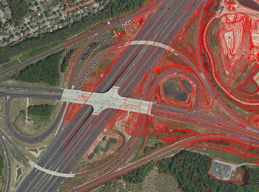
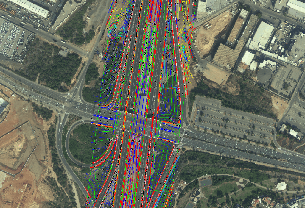
Orthophoto process transforms a vertical aerial photograph in to the equivalent of traditional map. Yet it retains the advantages of a photograph-virtually displaying actual cultural and land features and the built environment rather than representing those features using symbols and lines. With the development of technology, Digital photogrammetry has started to be used widely in almost all areas about mapping. Especially digital orthophotos which are a photogrammetric products, are being used by lots of private sectors because of theirs easy interpretability.


Orthophoto Mosaics
EOM matches the density of the orthoimages, and interactively selects join lines between overlapping images to minimize particular variations and visible join lines. EOM manually places seam lines along natural ground features, whenever possible, to create a “seamless” orthophoto mosaic. Seam lines will never cross through buildings, bridges, or other fabricated structures not at ground level.
