Bathymetry
BATHYMETRY
Bathymetry is the information that describes the topography of the seabed, as depth from the sea surface to the seafloor. Bathymetric Lidar is a technique to capture geospatial data of the coastline and (shallow) waters. It is a method potentially facilitating the efficient and fast creation of hydrographic data.
It offers a cost-effective solution to wide-area surveys that are impossible, difficult, or expensive to access or complete using conventional acoustic systems.
Safe ocean navigation relies on accurate bathymetry data, which are also essential for planning marine installations and infrastructure such as wind turbines, coastal defenses, oil platforms, and pipelines. Fundamental to understanding risk in areas of high susceptibility is capturing the near-shore land and sea surface.
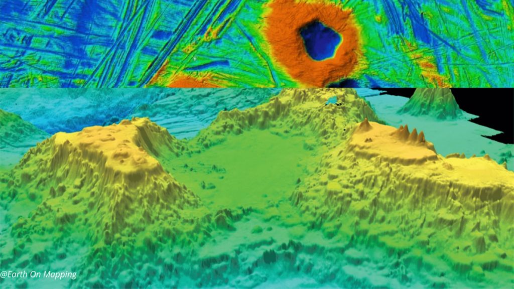
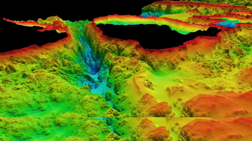
Bathymetric Lidar is the most effective and cost-efficient technology to capture both the land and seafloor simultaneously to provide a continuous, detailed 3D elevation model along the coastline. Its ability to successfully capture elevation on both sides of the coastline.
EOM provides highly accurate Bathymetry post-processing products and having dedicated LiDAR classification personnel.
EOM Bathymetry process output:
- Ground
- Underwater Ground
- Underwater vegetation
- Water level
Benefits of this process:
- Multibeams and single-beam high precision bathymetric surveys (marinas, port facilities, rivers, lakes, and oceans)
- Shoreline erosion monitoring
· Dredging and underwater construction work monitoring and surveillance