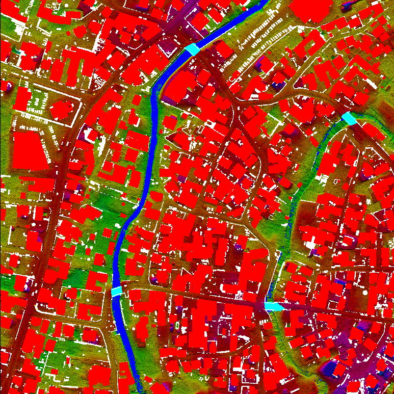
Advance Classification & DSM
A DSM (Digital Surface Model) captures both the natural and built/artificial features of the environment. It includes ground surface, vegetation, and man-made objects
DSM demonstrates the natural and artificial features on the Earth’s surface.
Digital Surface Model may be useful for RF planning, landscape modeling, city modeling, visualization applications, and more
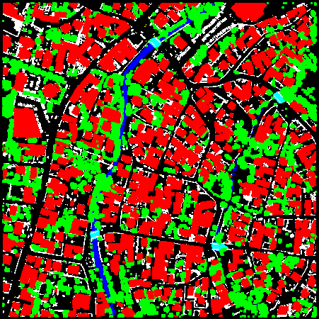
Urban planning
Urban planning is a technical and political process concerned with the control of the use of land and design of the urban environment, including transportation networks, to guide and ensure the orderly development of settlements and communities. It concerns itself with research and analysis, strategic thinking, architecture, urban design, public consultation, policy recommendations, implementation and management. A plan can take a variety of forms including strategic plans, comprehensive plans, neighborhood plans, regulatory and incentive strategies, or historic preservation plans. Planners are often also responsible for enforcing the chosen policies.
We have established a reputation for providing imaginative, practical and independent advice. We deliver projects of all kinds and sizes, from initial study right through to completion.